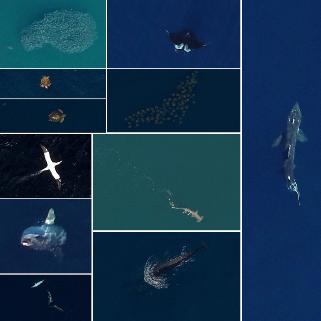
Gainesville, FL (May 18, 2022) – The final reports from an analysis of three years’ worth of aerial digital imagery collected on behalf of NYSERDA between 2016 and 2019 are now publicly available! These reports include data that provide support for the development of offshore wind in the New York Offshore Planning Area. The report comprises six volumes: a Summary Report; Methods, Results, Limitations, and Discussion; and four volumes of results covering birds, marine mammals, turtles, and sharks and rays.
Results of the high-resolution aerial digital survey reveal a diverse and dynamic biota that varies between seasons, but exhibits repeatable spatial distributions. For each survey, approximately 300,000 images were collected within the OPA using a transect design. Striking among the results is the fact that 98% of the images contained no target species groups, vessels, or structures. Despite the seemingly low numbers of images capturing biota, the survey collected images of 205,277 animals.
To review the reports in full, visit our remote site at the link, here.
