Client: BOEM
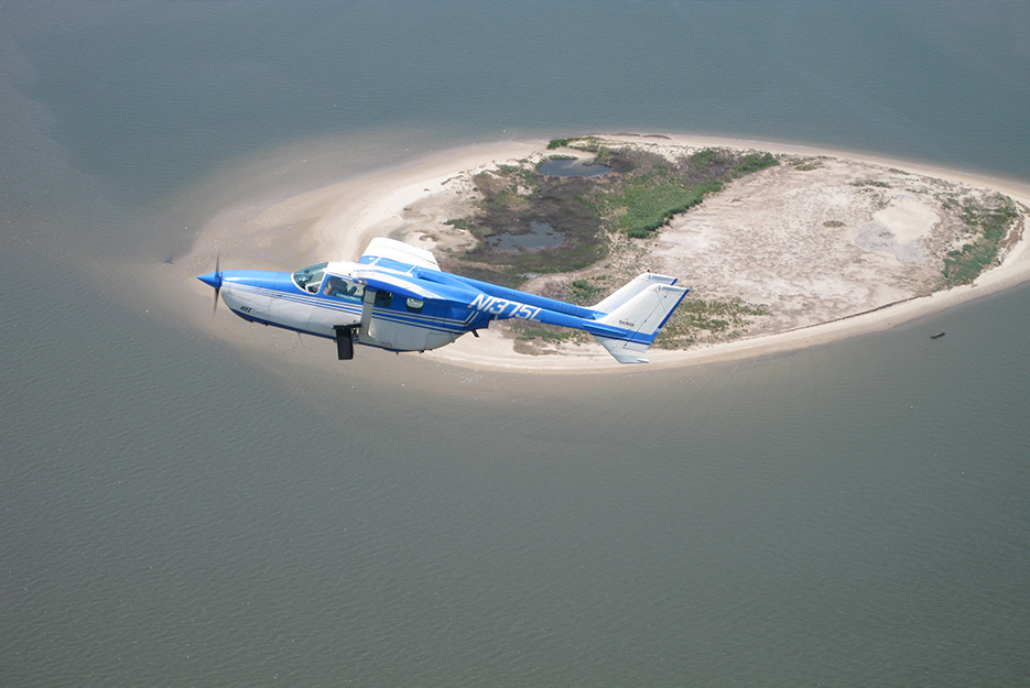
Project Highlights: Normandeau developed and tested methods for conducting aerial high-definition digital image surveys of birds, marine mammals, and sea turtles in the offshore environment.
Services Provided:
- High-definition aerial surveys
- Boat-based visual surveys
- Aerial visual surveys
- Surveys included birds, marine mammals, and sea turtles
- Visual survey platforms showed observer biases in the data compared to aerial digital surveys
- Visual survey platforms affected the behavior of some species
Normandeau conducted a pilot study of aerial high-definition imagery surveys for seabirds, marine mammals, and sea turtles on the Atlantic OCS. This project centered on a set of experiments to evaluate several different methods for conducting offshore wildlife surveys. We developed and tested methods for conducting aerial high-definition digital image surveys of birds, marine mammals, and sea turtles in the offshore environment using state of the art survey techniques that are efficient and provide high-quality, reproducible data. We also included a comparison of identification, enumeration, and density estimates generated by the three survey techniques: aerial digital, aerial visual, and boat-based visual. Results from this project were used to develop a protocol for the US government to conduct large-scale offshore wildlife surveys of the Atlantic OCS from the Maine-Canada border to the southern end of Florida. Other partners participating in the project included ECOES, Gemini, Pinnacle 1 Aviation, and Boulder Imaging.


