Client: US Department of Navy (DON)
Since 2013, the Normandeau–lead team has been monitoring seasonal and annual species-specific seabird occurrence, abundance, distribution, and density along with reporting on interseasonal and interannual changes at two remote locations. Normandeau is the prime contractor and responsible for project management in addition to data analysis and reporting.
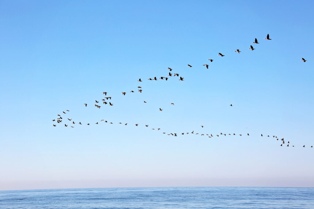
This project entails conducting high-resolution aerial imaging surveys of colonially nesting seabirds on two very small islands in the Pacific Ocean that are currently used as bombing ranges by the US Navy. The first, Farallon de Medinilla (FDM), is located within the US territory of Guam and is approximately 0.8 km² in total area. The second, Ka’ula Rock, is a small island within the Hawai’ian archipelago, and is approximately the same size. We are providing the same survey frequency the Navy is using (4x/year for FDM, 2x/year for Ka’ula), with each survey consisting of a single, complete aerial imaging survey of the subject island. Surveys are executed by a subcontractor under the auspices of the Normandeau teaming agreement. Image data is initially processed by the subcontractor, including identification, quantification, and geopositioning of all imaged birds. These data are then provided to Normandeau ornithologists to analyze and produce a report detailing the species composition and abundance of nesting seabirds in relation to military activities and other habitat features for each survey on each island. Seasonal and climate affected differences are already evident.
Secondarily, marine mammal presence at Ka’ula Island is also documented opportunistically during the surveys. The presence of seals hauled out on beaches will be captured as part of the survey, and any other incidental sightings of marine mammals are also noted.


